
Sat Nov 23 08:40:45 UTC 2024: ## India to Count Farm Fires by Burned Area, Not Satellite Data
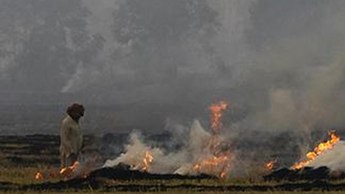
**New Delhi, November 23, 2024** – India is shifting its method of tracking harmful farm fires, a major source of air pollution in the north of the country. Currently, the government relies on data from NASA satellites, which capture active fires during two brief passes over Punjab and Haryana daily. However, concerns have arisen that farmers are timing their burning to avoid detection during these short observation windows.
An advisor to the Supreme Court highlighted discrepancies between data from NASA’s orbiting satellites and a South Korean stationary satellite, which detected fires later in the day. While the court ordered the government to use data from stationary satellites, the government deemed this data “sub-optimal.”
Instead, India’s space agency is developing a system to count fires by analyzing the area of land burnt after the event. This change comes amid criticism of the current satellite-based system’s limitations, including its inability to detect fires outside of the short observation window. The high cost and low adoption of subsidized harvesting machines, which could reduce stubble burning, also contribute to the ongoing problem.
