Wed Feb 12 05:30:00 UTC 2025: ## Devastating Storm to Pummel Southern California, Triggering Flood and Landslide Fears
**Los Angeles, CA** – Southern California braces for its strongest storm in a year, set to unleash torrential rain and potentially catastrophic flooding and landslides, particularly in areas recently ravaged by wildfires. The storm, arriving via an atmospheric river, is expected to drop 1.5 to 3 inches of rain across Los Angeles, Ventura, and Santa Barbara counties, with significantly higher totals – 3 to 6 inches – predicted for mountain areas, including numerous burn scars.
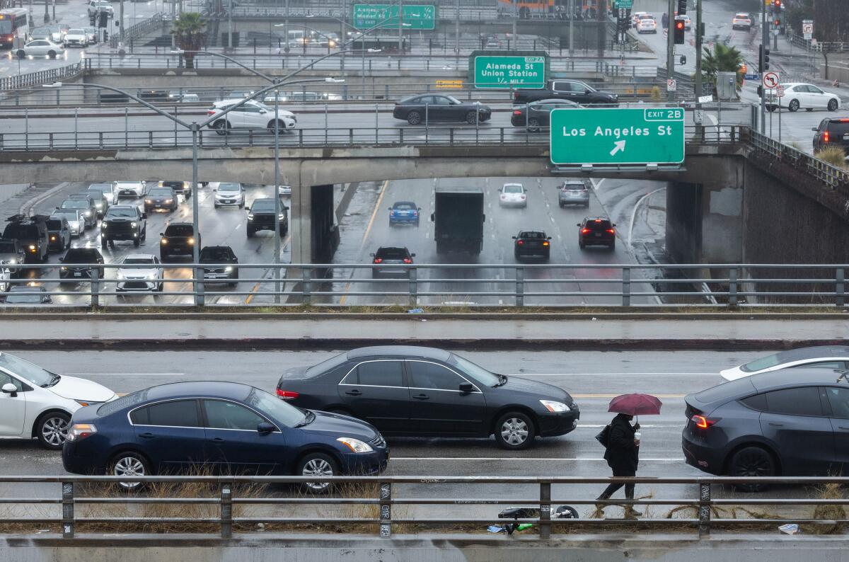
The National Weather Service (NWS) has issued urgent warnings, advising residents to avoid travel, especially on Thursday, when the heaviest rainfall is anticipated (2 p.m. Thursday to 2 a.m. Friday). Meteorologists emphasize the storm’s intensity, unlike the milder storms of the past two weeks. Roadway flooding and numerous traffic accidents are anticipated.
Areas around recent burn scars, like those from the devastating Palisades fire, face the highest risk. The NWS estimates a 50% to 70% chance of debris flows, fast-moving landslides carrying mud, rocks, and debris, capable of reaching speeds up to 35 mph. The Palisades burn scar could see over 3 inches of rain, while the Eaton and Bridge fire scars could receive even more.
Los Angeles Mayor Karen Bass announced that city departments are on high alert, with pre-deployed resources and preventative measures in place, including concrete barriers and sandbags in vulnerable areas. However, the mayor stressed the widespread concern extends beyond the burn areas, emphasizing the need for city-wide preparedness. Santa Barbara County has already issued evacuation warnings for areas near the Lake fire burn zone.
The storm’s impact will extend beyond Los Angeles County. Heavy rainfall is forecast for Santa Barbara and San Luis Obispo counties on Thursday, and the Inland Empire, San Diego, and Orange counties will experience significant rainfall Thursday afternoon and evening. The San Francisco Bay Area and Sierra Nevada will also experience the brunt of the storm on Thursday.
The NWS anticipates a high risk of flooding, including potential swift-water rescues, and strong winds capable of downing power lines and trees. While the storm is expected to clear by Friday, the potential for significant damage and disruption remains high. Residents are urged to stay informed and take necessary precautions.
