Mon Sep 09 15:11:59 UTC 2024: ## San Diego Swelters Under Record Heat, But Relief Expected This Week
San Diego County experienced a record-breaking heat wave this weekend, with temperatures soaring over 100 degrees in several inland areas. Escondido reached a scorching 109 degrees on Sunday, breaking the previous record of 104 set in 1944. Ramona, Alpine, and El Cajon also saw record-breaking temperatures, exceeding previous highs set in the 1980s.
The extreme heat led to a surge in energy demand, with San Diego Gas & Electric (SDG&E) experiencing several power outages throughout the weekend. The utility provider reported record power usage, reaching 5,032 megawatts at 6:45 p.m. on Sunday, surpassing the previous record of 4,890 megawatts set in 2014. SDG&E crews worked tirelessly to restore power to affected customers.
“We understand how challenging it is to be without power during these extreme temperatures,” said Dana Golan, SDG&E’s vice president of customer services. “We deeply appreciate your patience and understanding. Our dedicated field crews have been working non-stop to restore power as quickly and safely as possible and will continue to do so until everyone is fully restored.”
A heat advisory remained in effect until at least 8 p.m. Monday for several coastal cities, including San Diego, Carlsbad, Encinitas, Chula Vista, Vista, Oceanside, and National City.
While Sunday saw temperatures reaching the upper 80s and 90s near the coast and close to triple-digits inland, a brief period of heavy rainfall resulted in a flood advisory for areas including Ramona, Valley Center, Escondido, and San Pasqual.
However, a welcome respite from the heat is on the horizon. Forecasters predict a significant drop in temperatures starting this week, with downtown highs expected to drop to 84 on Tuesday and 75 on Wednesday. Mountain areas are also anticipated to experience more bearable conditions by Wednesday.
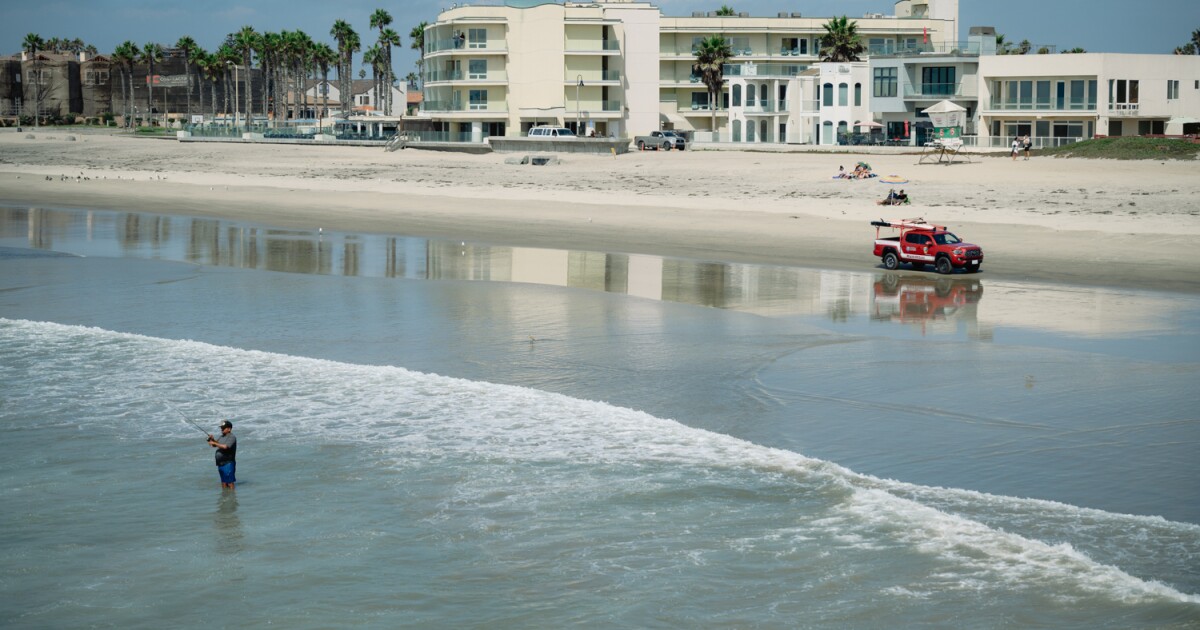
The National Weather Service (NWS) also reported a low-risk rip current and surf height ranging from 1 to 3 feet for Monday. Although Monday will see a slight cooling, temperatures will remain 10-15 degrees above normal. “Much cooler Tuesday onward,” the NWS stated. No hazardous marine weather conditions are expected through Thursday.
