
Mon Apr 06 15:59:55 UTC 2026: # Unseasonal Rainfall and Temperature Extremes Hit Andhra Pradesh
The Story:
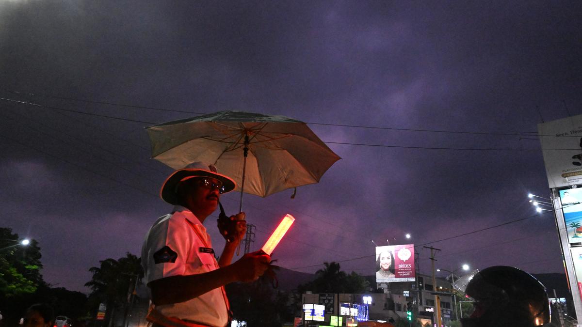
Several districts across Andhra Pradesh experienced light to moderate rainfall on Monday, April 6, 2026, while other regions faced high temperatures. The India Meteorological Department (IMD) forecasts continued rainfall and thunderstorms in coastal Andhra Pradesh and Rayalaseema until April 11. These weather patterns are attributed to upper-air cyclonic circulations over the Bay of Bengal and Telangana, coupled with a trough extending to the Gulf of Mannar.
Key Points:
- April 6, 2026: Light to moderate rainfall reported in East Godavari, Srikakulam, Dr. B. R. Ambedkar Konaseema, Eluru, Alluri Sitharama Raju, Markapuram, and Tirupati districts.
- Laxmipuram in East Godavari recorded the highest rainfall at 57.5 mm.
- The IMD forecasts heavy rain in North Coastal Andhra Pradesh.
- High temperatures were recorded in Rayalaseema, with Terannapalli in Anantapur district reaching 42°C.
- Two upper-air cyclonic circulations are influencing the weather.
- Light to moderate rainfall is expected to continue in several districts on Tuesday.
Critical Analysis (Optional):
No significant patterns or strategic depth revealed in the provided context.
Key Takeaways:
- Andhra Pradesh is experiencing a mixed weather pattern with both rainfall and high temperatures.
- Cyclonic circulations and troughs are the primary drivers of the unseasonal rainfall.
- The IMD is closely monitoring the situation and issuing forecasts.
- The APSDMA is coordinating disaster management efforts.
- The weather conditions are expected to persist for several days.
Impact Analysis (Optional):
No long-term implications can be assessed based solely on the provided information.
