
Tue Mar 31 12:45:08 UTC 2026: Headline: Satellite Images Reveal Extent of Damage in U.S.-Israeli Conflict with Iran
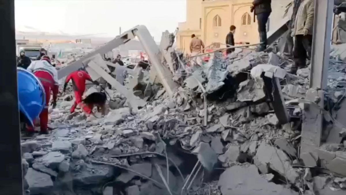
The Story: Satellite imagery is emerging, providing the first comprehensive look at the damage inflicted during the ongoing conflict between the U.S., Israel, and Iran, which began on February 28, 2026. The images, captured by Planet Labs PBC and other firms, show ships ablaze in Iranian ports, destroyed buildings at American bases in the region, and damage to infrastructure in several Gulf Arab nations. The U.S. and Israel have been targeting Iranian leadership, military bases, and missile sites, while Iran has retaliated with drone and missile strikes against Israel and nearby Gulf states.
Key Points:
- Satellite images reveal significant damage at Bandar Abbas, a major Iranian military port.
- The U.S. military claims to have sunk or damaged over 100 Iranian vessels.
- Strikes have hit the Parchin military base outside Tehran, linked to Iran’s ballistic missile program.
- Iranian fire has heavily targeted Bahrain, home to the U.S. Navy’s 5th Fleet, destroying buildings and radomes.
- Al Udeid Air Base in Qatar and Prince Sultan Air Base in Saudi Arabia have also sustained damage from Iranian attacks.
- France’s Camp de la Paix naval base in Abu Dhabi has suffered damage.
- Dubai International Airport experienced a fire after an Iranian drone strike ignited a fuel tanker.
- Oman’s Salalah port has been burning since a suspected Iranian drone attack on March 11, 2026.
- Planet Labs is delaying public release of imagery by two weeks.
Critical Analysis:
The news items in the historical context do not significantly reveal any patterns or strategic depth of the ongoing conflict.
Key Takeaways:
- The conflict between the U.S., Israel, and Iran is causing widespread damage to military and civilian infrastructure across the Middle East.
- Satellite imagery is playing a crucial role in documenting the extent of the damage and providing information that is otherwise scarce.
- The targeting of critical infrastructure, including ports, air bases, and oil facilities, suggests a strategy aimed at crippling the enemy’s military and economic capabilities.
- The involvement of multiple countries, including Bahrain, Qatar, Saudi Arabia, and the UAE, highlights the regional scope of the conflict.
- The delay in releasing satellite imagery underscores the sensitivity of the information and the potential for it to be used for military purposes.
