
Tue Jan 06 02:30:00 UTC 2026: ### Headline: Remote Sensing Technologies Revolutionize Resource Exploration and Management
The Story:
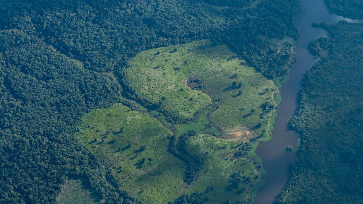
A January 6, 2026 article in The Hindu details how remote-sensing technologies, including satellites and drones, are transforming resource exploration and management. These technologies enable scientists and engineers to map Earth’s resources without direct physical contact, using spectral signatures to identify everything from plant health to underground minerals and water. By analyzing reflected electromagnetic energy, these tools provide crucial data for agriculture, forestry, water management, and mineral exploration, offering a faster, cheaper, and more environmentally friendly approach compared to traditional methods.
Key Points:
- Remote-sensing uses spectral signatures to identify materials by analyzing reflected electromagnetic energy.
- Satellites monitor plant health by detecting chlorophyll levels through red and near-infrared light reflection.
- Water bodies are mapped using optical indexing (reflected sunlight) and synthetic aperture radar (radio waves).
- Hyperspectral sensors can identify minerals and alteration zones by splitting light into hundreds of narrow colors.
- Satellites detect micro-seepage of oil and gas by analyzing changes in soil chemistry and vegetation health.
- Underground aquifers are mapped using gravity measurement satellites like NASA’s GRACE.
Key Takeaways:
- Remote-sensing technologies offer a non-invasive and efficient way to assess and manage natural resources.
- The ability to monitor plant health from space is crucial for sustainable agriculture and forestry.
- Mapping underground resources like minerals, oil, and water is becoming more precise and less environmentally damaging.
- Satellite data plays a critical role in understanding and mitigating climate change impacts.
- These technologies can lead to more targeted and less disruptive resource exploration activities.
