
Wed Jan 07 13:04:41 UTC 2026: # Mullaperiyar Dam Level Monitored Amid Ongoing Water Management
The Story:
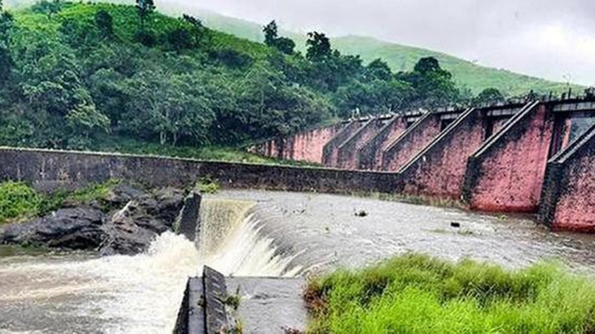
On January 7, 2026, the water level in the Mullaperiyar dam was recorded at 131.55 feet, significantly below the maximum permissible level of 142 feet. The inflow was measured at 341 cusecs, while the discharge stood at 1,000 cusecs. Concurrently, the Vaigai dam’s water level was 49.54 feet, against a maximum level of 71 feet, with an inflow of 680 cusecs and a discharge of 69 cusecs. The combined storage in Periyar credit was 6,661.61 mcft.
Key Points:
- Mullaperiyar Dam Level: 131.55 feet (Maximum permissible level: 142 feet)
- Mullaperiyar Inflow: 341 cusecs
- Mullaperiyar Discharge: 1,000 cusecs
- Vaigai Dam Level: 49.54 feet (Maximum level: 71 feet)
- Vaigai Inflow: 680 cusecs
- Vaigai Discharge: 69 cusecs
- Combined Storage (Periyar credit): 6,661.61 mcft
Key Takeaways:
- The Mullaperiyar dam’s water level is being actively managed, maintaining a level well below the maximum permissible limit.
- Discharge rates from Mullaperiyar exceed inflow, indicating a strategy to reduce water levels.
- Vaigai dam levels are also being monitored and managed.
- The combined storage figures provide a holistic view of water resource management in the Periyar basin.
