
Mon May 26 00:00:00 UTC 2025: **Summary:**
The article discusses the recent recalculation of India’s coastline length by the Union Ministry of Home Affairs, revealing a significant increase from 7,516.6 km to 11,098.8 km. This change isn’t due to territorial changes, but rather to advancements in measurement technology, specifically the use of high-resolution electronic navigation charts. The article delves into the “coastline paradox,” a concept explaining how the measured length of a coastline varies depending on the scale of measurement used. It highlights the practical implications of a more accurate coastline measurement for maritime security, disaster preparedness, climate modeling, and coastal regulations. It concludes by emphasizing the importance of evolving scientific tools for refining our understanding of seemingly fixed geographical features.
**News Article:**
**India’s Coastline Length Significantly Revised, Now Measures 11,099 km**
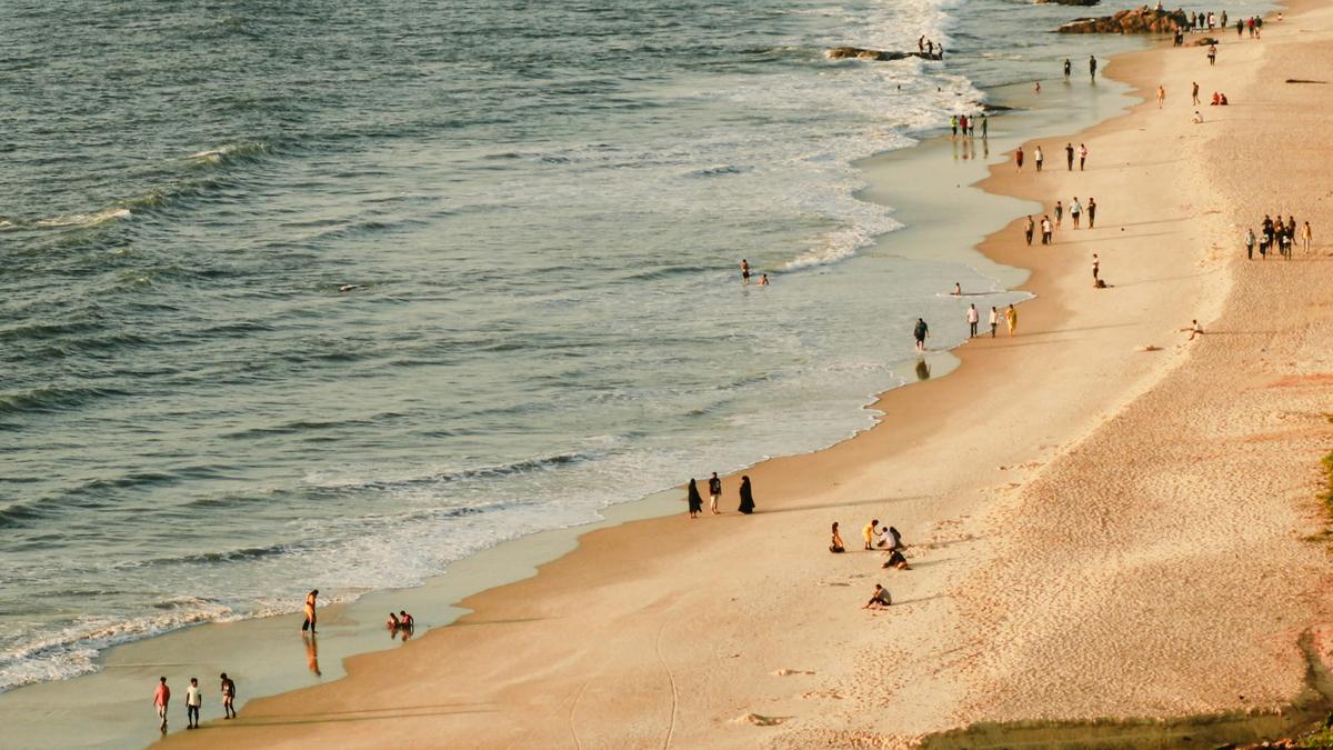
**New Delhi, May 26, 2025** – The Union Ministry of Home Affairs has announced a major revision in the official length of India’s coastline, updating the previous estimate of 7,516.6 km to a significantly longer 11,098.8 km. The announcement, part of the Ministry’s 2023-2024 annual report, reflects advancements in measurement technologies and a more detailed mapping of coastal features.
According to officials, the updated measurement, conducted by the National Hydrographic Office (NHO) and the Survey of India, utilized high-resolution electronic navigation charts with a scale of 1:250,000. This level of detail allows for the inclusion of intricate coastal features like estuaries, tidal creeks, and island groups previously omitted in older calculations. Technologies such as geographic information systems, satellite altimetry, LIDAR-GPS, and drone-based imaging were employed in the mapping process.
The revised figure underscores the “coastline paradox,” a concept explaining how coastline length depends on the scale of measurement. As Benoît Mandelbrot demonstrated, the more refined the measurement scale, the longer the apparent coastline becomes.
Beyond academic curiosity, the increased coastline length has significant practical implications for India. “A longer coastline directly impacts maritime security planning, disaster preparedness for cyclones and tsunamis, and the delineation of fishing rights and economic zones,” said a government spokesperson. The revised measurement is expected to help refine climate models, coastal zoning regulations, and disaster response strategies.
The government has also announced plans to revise the coastline length every 10 years, ensuring that future measurements reflect ongoing changes and technological advancements. The change may also lead to a re-evaluation of the geographical information taught in Indian schools.
The redefined coastline represents a testament to India’s progress in scientific measurement and its ability to refine its understanding of national geography.
