
Tue Feb 18 16:02:49 UTC 2025: ## Dindigul Launches Modern Land Survey Initiative
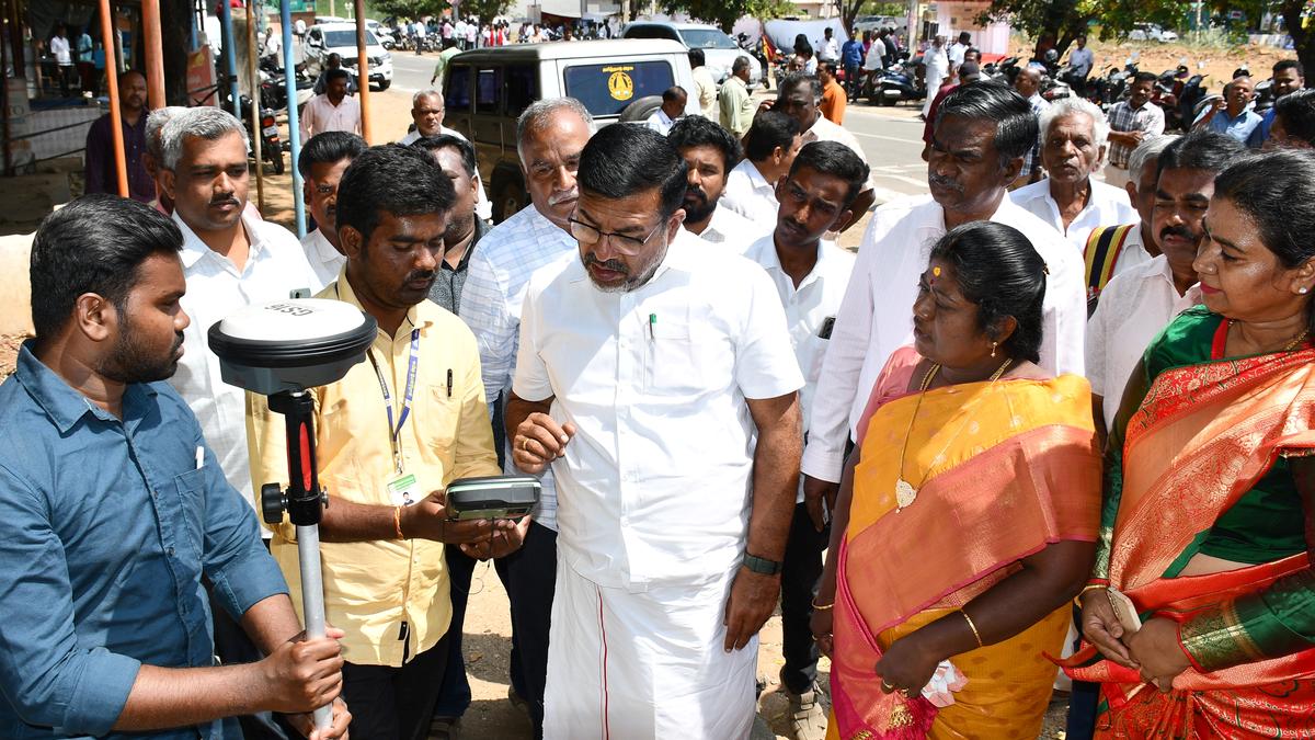
**Dindigul, Tamil Nadu –** A pilot project utilizing drone technology to modernize land records was launched in Dindigul on Tuesday. The National Geospatial Knowledge-based Land Survey of Urban Habitations (NAKSHA) project, overseen by Dindigul MP R. Sachidanandam, aims to update land records using advanced surveying techniques.
The initiative will employ drones to create ortho-rectified images, which will then be used by teams from the Revenue and Municipal Administration departments to conduct land surveys using DGPS and ETS equipment. This data will be integrated with existing property tax records. Landowners will have the opportunity to appeal any objections to the resulting field maps. Upon resolution of any appeals, finalized urban land documents, including geo-location points and integrated property tax records, will be provided to landowners. The project signifies a significant step towards modernizing land record-keeping in the region.
