Mon Jan 27 10:00:00 IST 2025: **Southern California Braces for First Major Rainstorm, Flood Risk High in Burn Areas**
LOS ANGELES, CA – Southern California is bracing for its first significant rainstorm of the season, bringing with it an elevated risk of flooding and landslides, particularly in areas recently scarred by wildfires. The heaviest rainfall is expected to hit Sunday and Monday.
The National Weather Service has issued a flood watch for burn areas in Los Angeles County from 10 a.m. Sunday to 4 p.m. Monday. Meteorologists warn of a slow-moving storm system that will bring persistent rainfall throughout the period. The mountains of Los Angeles and Ventura counties could see 2 to 3 inches of rain, while other areas may receive between half an inch and one inch. Higher-end projections suggest Orange County, parts of the Inland Empire, and coastal northern San Diego County could receive 1 to 1.5 inches of rain.
Already, parts of western Los Angeles County have reported receiving up to half an inch of rain by Sunday afternoon, with reports of street flooding due to clogged drains. A portion of Pacific Coast Highway was closed due to flooding in Topanga Canyon.
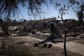
Forecasters express increased concern about debris flows in areas affected by recent wildfires, including the Palisades, Franklin, Eaton, Hughes, and Bridge fires. There is a 10% to 20% chance of significant flash flooding and debris flows capable of damaging homes and roads in these vulnerable areas.
Residents are urged to avoid recently burned areas during the storm, utilize sandbags to protect property, and stock up on supplies in case roads become impassable. The storm is expected to end a record-breaking dry spell, with most areas receiving less than 5% of their average rainfall for this time of year. Southern California is currently experiencing extreme or severe drought conditions.
