
Mon Sep 09 05:14:52 UTC 2024: ## Deep Depression Set to Make Landfall in Odisha, Bringing Heavy Rains Across India
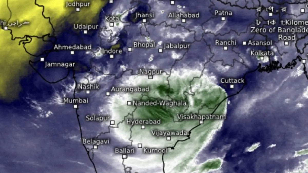
A deep depression, comparable in strength to a tropical cyclone, is expected to make landfall near Puri, Odisha, on Monday afternoon. The system, which was located 70 km southeast of Puri on Monday morning, has rapidly intensified and will likely cross the coast earlier than initially predicted.
The intensification of the depression has been attributed to warmer than usual sea surface temperatures in the Bay of Bengal. However, high wind shear values have prevented the formation of a fully developed storm structure. The monsoon trough, meanwhile, remains south of its normal position, leading to active monsoon conditions in south and west-central India.
The India Meteorological Department (IMD) has issued warnings of isolated extremely heavy rainfall for Coastal Andhra Pradesh & Yanam, Telangana, and Odisha on Monday. Other regions, including South Interior Karnataka, Kerala & Mahe, Coastal Andhra Pradesh & Yanam, Coastal Karnataka, Jharkhand, plains of West Bengal, Assam & Meghalaya, Nagaland, Manipur, Mizoram & Tripura, are also expected to receive heavy rainfall over the next few days.
The deep depression is expected to bring isolated very heavy rainfall to West Madhya Pradesh, East Madhya Pradesh, Chhattisgarh, and Vidarbha, while isolated heavy rain is predicted for parts of Gujarat, Konkan & Goa, and Madhya Maharashtra.
In northwest India, isolated very heavy rainfall is likely over East Rajasthan on Thursday and Friday, while isolated heavy rain is predicted for parts of Uttar Pradesh, Haryana, West Rajasthan, Uttarakhand, and East Uttar Pradesh.
The approaching deep depression is likely to push back drier north-westerly winds associated with monsoon withdrawal, leading to increased rainfall across the country.
